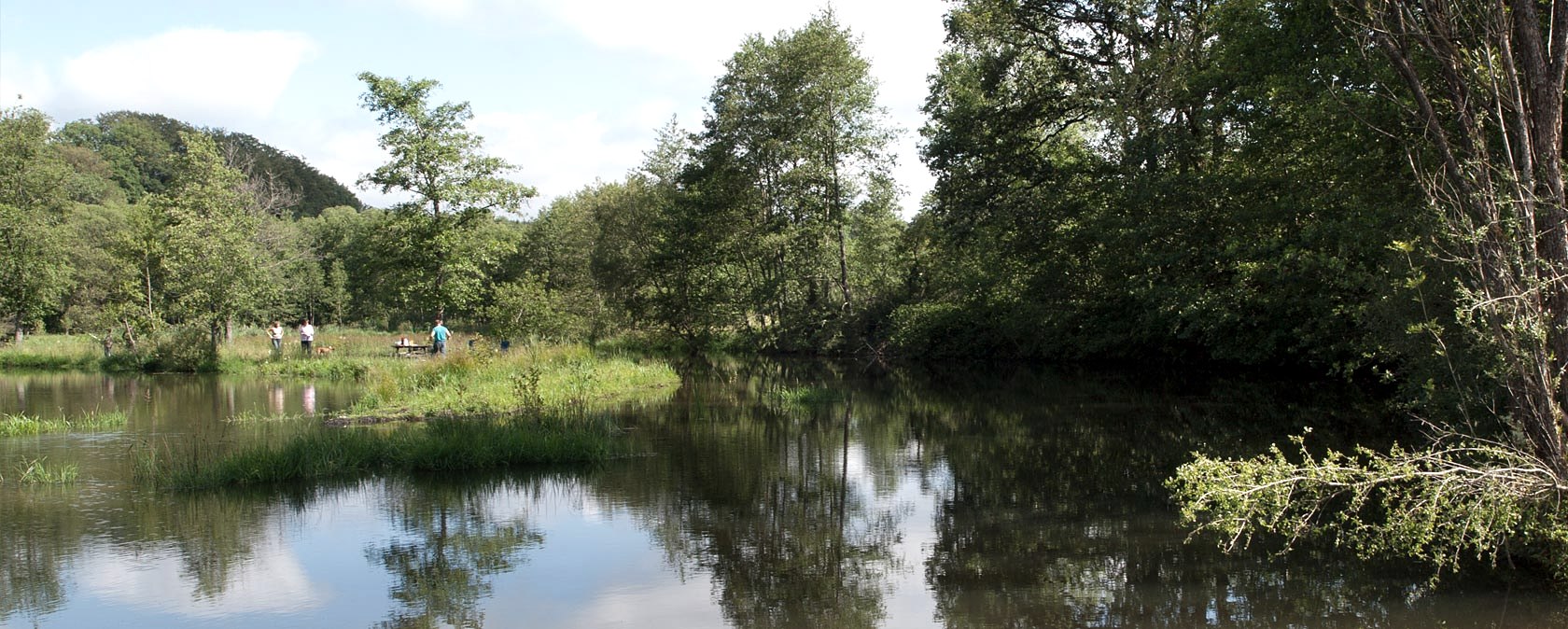
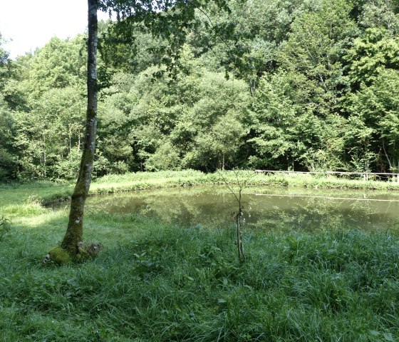
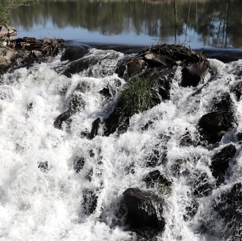
Stausee im Irsental, © V. Teuschler
  • Distance: 8.9 km
  • Duration: 2:30 h
  • Difficulty: easy

Naturpark Südeifel hiking trail no. 34 - Irrhausen

Irrhausen

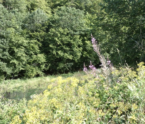
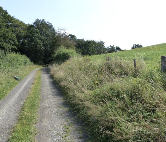
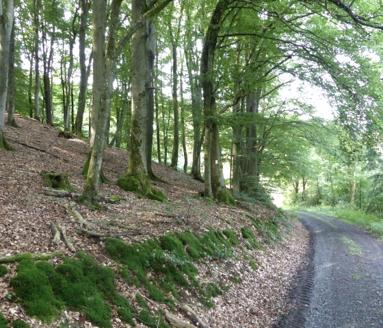
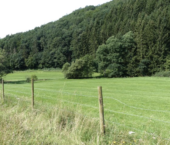
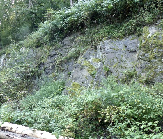
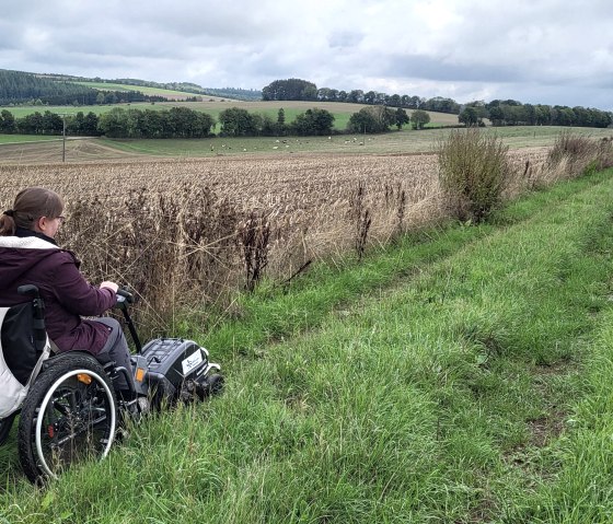
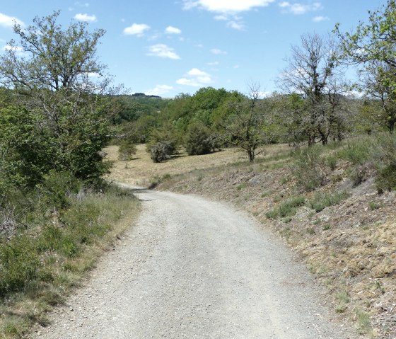
Embedded in the romantic Irsental, Irrhausen is a beautiful starting point for hikes. Hiking trail no. 34 follows the valleys of the Irsen, the Busbach, the Frohnseifen, the Holmicht and finally the Mannerbach. Wooded sections alternate with flower-filled floodplain meadows and fields, at the edges of which you can often see deer.

Highlights along the way:

  •     "Valley of the Butterflies" with a reservoir and a small waterfall
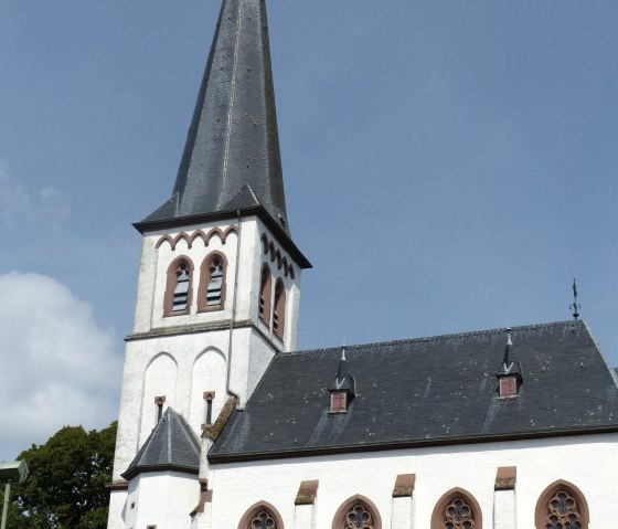
  •     Irrhausen with parish church and Bannmühle
mehr lesen

Marking of the tour:

  • npse-ww-m_34
pdf: 34_irrhausen-outdooractive-neugpx: route_34

Share content:

Along the route

Open map

Bitte akzeptieren Sie den Einsatz aller Cookies, um den Inhalt dieser Seite sehen zu können.

Alle Cookies Freigeben

More information about this route

Start: Irrhausen

Destination: Irrhausen

Distance: 8.9 km

Duration: 2:30 h

Difficulty: easy

Ascent: 169 m

Descent: 169 m

Einkehrtipp:

Restaurant-Pension Im Pfenn in Irrhausen

Zweckverband Naturpark Südeifel

Ewerhartstr. 14
54666 Irrel
Phone: 06525 7926130

write e-mail

Plan your journey

per Google Maps